‘Potent’ storm system threatens to wallop Hawaiian Islands
COURTESY NOAA
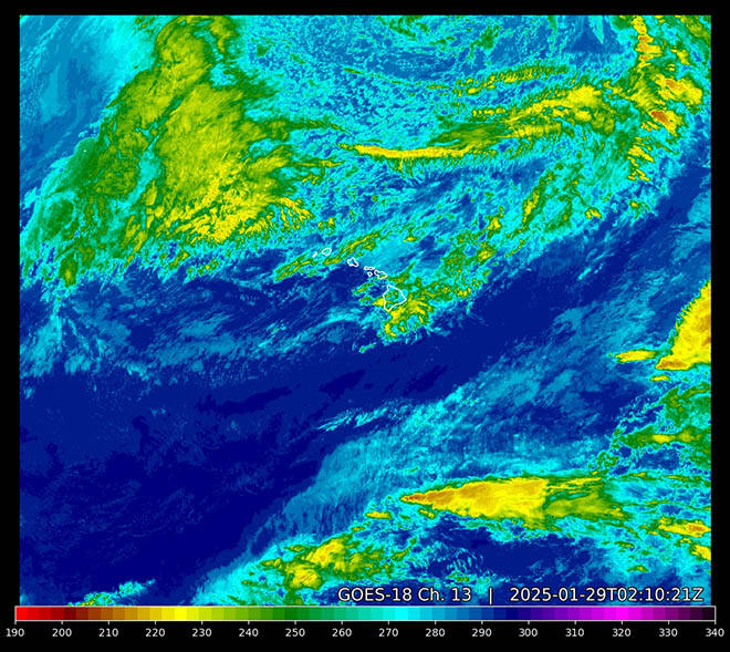
This color-enhanced radar image shows a strong storm system approaching Hawaii from the northwest. All islands are under a flood watch and high-wind watch from tonight through Friday morning.
The National Weather Service warns that a “potent winter storm system will bring a multifaceted threat for significant weather hazards” to all Hawaiian Islands starting tonight.
The threats include heavy rain, flash flooding, damaging wind, severe thunderstorms on all islands, and snow and ice on Big Island summits, according to weather service forecasters in Honolulu.
“Damaging gradient and downslope winds will be possible, particularly to the north and northeast of the terrain from late Wednesday night through Friday, especially over the smaller islands,” NWS said in a special weather statement. “In addition, heavy rain capable of producing flash flooding is expected to affect the entire island chain during this time.”
The public is urged to monitor forecasts, and to be prepared should flash flood warnings be issued.
The weather service Tuesday issued:
>> A flash flood watch for all islands from this evening through Friday morning. “Flood prone roads and other low lying areas may be closed due to elevated runoff and overflowing streams. Urban areas may receive more significant flooding and property damage due to rapid runoff.”
Don't miss out on what's happening!
Stay in touch with breaking news, as it happens, conveniently in your email inbox. It's FREE!
>> A high-wind watch for all islands this evening until Thursday night with southwest wind 20 to 35 mph with possible gusts up to 55 mph. “Damaging winds could blow down trees and power lines. Widespread power outages are possible. Travel could be difficult, especially for high profile vehicles.” Forecasters said the strongest wind likely will be across windward and mauka areas of Oahu and Kauai, but parts of Maui County and the Big Island also could see strong wind.
>> A winter storm watch for Big Island summits late tonight through Friday morning. “A light glaze of ice is also possible on wet surfaces as temperatures drop below freezing.”
>> A gale watch for Kauai waters from this evening to Thursday afternoon due to strong wind, which can cause hazardous seas and reduce visibility for boats.
The storm system threatening Hawaii comes from an unusually strong low-pressure system northwest of the state that will pass a couple hundred miles north of Kauai on Thursday, then drag a cold front east through the islands through Friday, according to the weather service.
“Intense rainfall rates are likely especially over the typically drier south and southwest facing slopes, where the greatest rainfall totals are expected,” forecasters said. “Finally, there is an enhanced risk of strong to severe thunderstorms with the primary threat expected to be damaging wind gusts, particularly over the smaller islands.”
Kauai County officials urge residents to stay vigilant and avoid outdoor activities in flood-prone areas such as hiking trails, rivers, streams and low-lying areas.
NWS officials urge residents to take precautions to protect property before the storm hits, and to tie down loose objects or move them to a sheltered location.
Hawaiian Electric officials said the company was monitoring the weather and encouraged residents to check their emergency preparations and prepare for the possibility of power outages. They said those preparations should include:
>> Checking emergency equipment such as flashlights, generators, battery-operated radios, light sticks and lanterns to be sure they are operational.
>> Buying extra batteries.
>> Having a battery-powered radio on hand to listen for updates on the weather conditions.
>> Making sure portable generators are in a well-ventilated area outside the home, and carefully following all instructions in the manufacturer’s manual.
>> Turning refrigerators and freezers to their coldest settings in case power goes out.
>> Turning off and unplugging any unnecessary electric equipment, especially sensitive electronics, in case of a power outage.
>> Assuming downed power lines are energized and dangerous, and staying at least 30 feet or more away from all power lines.
———
More Hawaiian Electric preparation and safety tips are available at hawaiianelectric.com/stormcenter Opens in a new tab.


