Mild earthquake rattles southeastern Big Island

COURTESY USGS
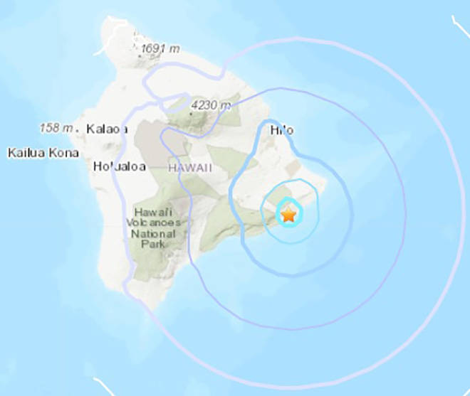
This map shows the approximate epicenter of today’s magnitude 3.7 quake near Leilani Estates.
An earthquake with a preliminary 3.7 magnitude struck the southeast region of the Big Island this afternoon.
The U.S. Geological Survey said the quake was centered about 9 miles southeast of Leilani Estates, the site of the 2018 Kilauea volcano Opens in a new tab eruption, and about 26 miles south-southeast of Hilo.
It struck at about 12:23 p.m. at a depth of less than half a mile, according to the USGS.
The quake was too mild to create a tsunami, however dozens of people within about 30 miles of the epicenter reported feeling shaking from the quake, according to the USGS’ “Did you feel it?” self-reported online survey Opens in a new tab.


